Camino de Invierno
Ponferrada — Santiago de Compostela
The Camino de Invierno runs from Ponferrada to Santiago de Compostela: 262 km with 5,030 m of climbing; the highest point is at 1,100 m. At 24 km a day the planner splits the route into 13 walking days. Along the way there are 40 places with a bed and 155 places to stay.
- Start
- Ponferrada
- End
- Santiago de Compostela
- Distance
- 262 km
- Walking days at 24 km
- 13
- Climbing
- 5,030 m
- Highest point
- 1,100 m
- Places with a bed
- 40
- Addresses
- 155
Regions along the way




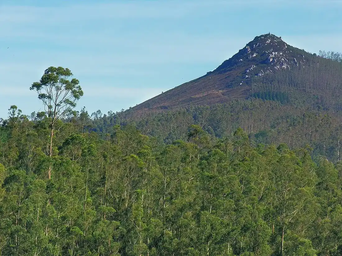

Stages: an example split at 24 km a day
This is not an official list of stages. It is how the planner splits the Camino de Invierno at 24 km a day, with the climbing included (100 m up counts as 1 km). Each day ends in a place with a bed; that is why the days are not exactly the same length. In the app you choose your own daily distance, a section of the route, rest days and where you sleep.
- Day 1Ponferrada → Carucedo21 km · ↑ 520 m
- Day 2Carucedo → Éntoma26 km · ↑ 480 m
- Day 3Éntoma → A Rúa de Valdeorras19 km · ↑ 160 m
- Day 4A Rúa de Valdeorras → Quiroga27 km · ↑ 570 m
- Day 5Quiroga → A Pobra do Brollón23 km · ↑ 610 m
- Day 6A Pobra do Brollón → Monforte de Lemos12 km · ↑ 90 m
- Day 7Monforte de Lemos → A Vila12 km · ↑ 230 m
- Day 8A Vila → Chantada19 km · ↑ 490 m
- Day 9Chantada → Rodeiro26 km · ↑ 680 m
- Day 10Rodeiro → Lalín22 km · ↑ 290 m
- Day 11Lalín → Silleda16 km · ↑ 230 m
- Day 12Silleda → Vista Alegre20 km · ↑ 160 m
- Day 13Vista Alegre → Santiago de Compostela21 km · ↑ 530 m
All 40 places with a bed
Next to each place: the distance from Ponferrada.
León
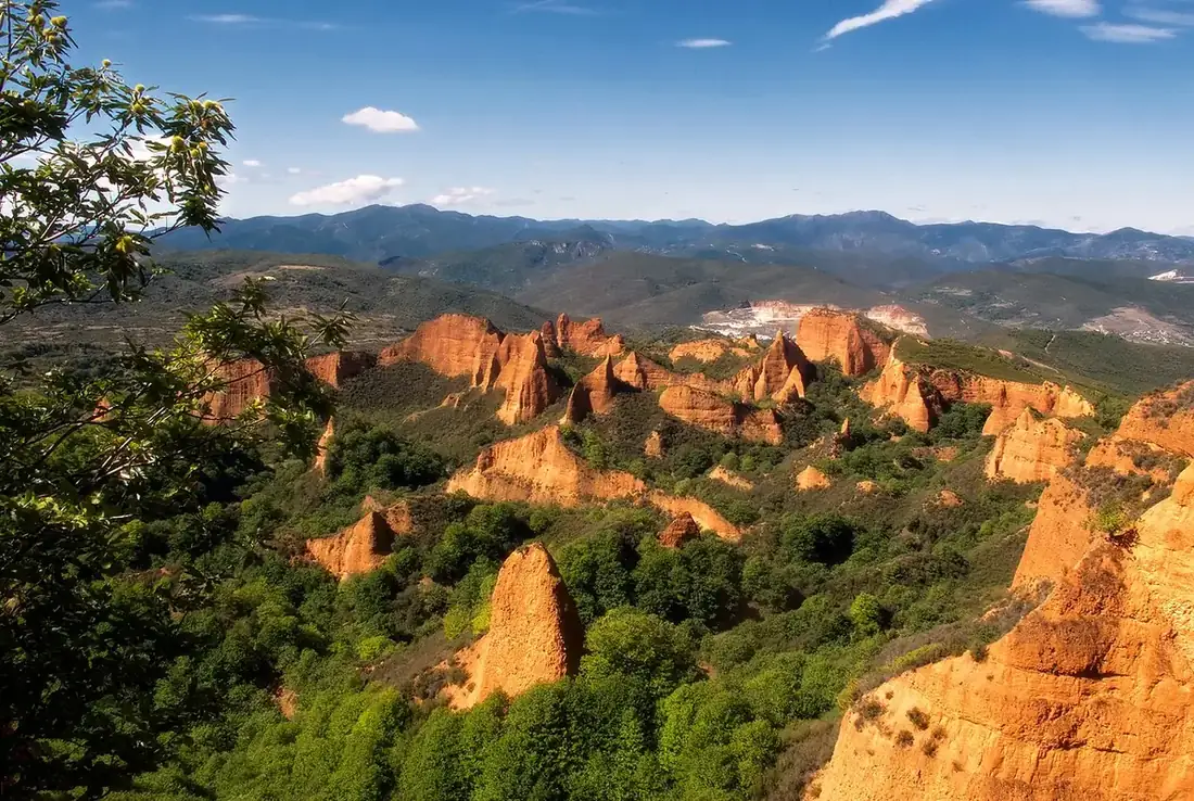
Ponferrada (km 0) · Priaranza del Bierzo (km 8) · Borrenes (km 19) · Carucedo (km 21) · Las Médulas (km 25)
Ourense
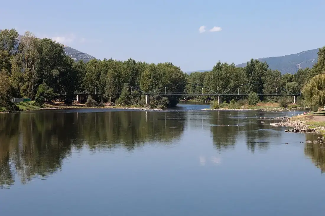
Éntoma (km 47) · Viloira (km 52) · O Barco (km 53) · A Rampla (km 53) · Arcos (km 57) · Penouta (km 59) · Valdegodos (km 60) · Vilamartín (km 60) · A Rúa Vella (km 64) · A Rúa de Valdeorras (km 66)
Lugo
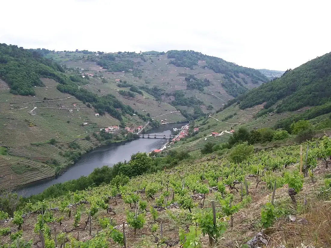
Sequeiros (km 88) · Quiroga (km 93) · Ponte do Sil (km 94) · San Clodio (km 95) · A Pobra do Brollón (km 116) · Monforte de Lemos (km 128) · A Vila (km 140) · Chantada (km 158) · Vilaseco (km 165)
Pontevedra
Rodeiro (km 184) · Lalín (km 206) · As Queimadas (km 208) · O Espiño (km 209) · Bergazos (km 210) · A Laxe (km 212) · Silleda (km 222) · A Bandeira (km 228) · Besteiros (km 233) · Rosedo (km 233)
A Coruña
A Ponte Ulla (km 241) · Vista Alegre (km 241) · O Outeiro (km 245) · Cachosenande (km 249) · Deseiro de Abaixo (km 252) · Santiago de Compostela (km 262)
Surface and way type
Surface: unknown 194 km · paved 55 km · unpaved 14 km
Way type: track 110 km · street 82 km · road 64 km · path 6 km
Way type and surface come from OpenStreetMap; "unknown" means it is not recorded there.
This route ends in Santiago de Compostela. For the Compostela you walk at least the last 100 km.